The key-issues of the Geographic Knowledge in Remote Sensing Image Processing Artificial Intelligence (Sébastien Gadal, ISPRASOPEN-2019) — различия между версиями
Материал из 0x1.tv
StasFomin (обсуждение | вклад) |
StasFomin (обсуждение | вклад) |
||
<!-- * [ Talks page on site] -->
<!-- <blockquote>[©]</blockquote> -->

{{fblink|2542875765965429}}
{{vklink|1631}}
<references/>


<!-- topub -->

[[Категория:ISPRASOPEN-2019]]
[[Категория:Mechanics]]
{{stats|disqus_comments=0|refresh_time=2021-08-25T01:58:5231T16:39:12.392162873729|vimeo_plays=7|youtube_plays=0}} | |||
Версия 13:39, 31 августа 2021
- Докладчик
- Sébastien Gadal
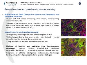
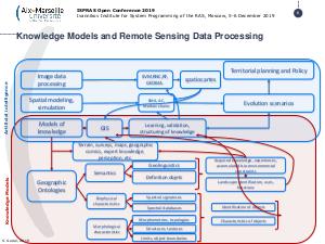
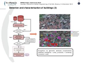
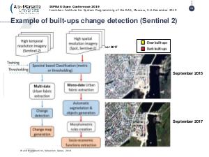
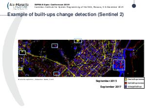
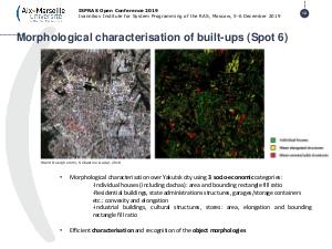
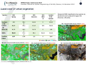
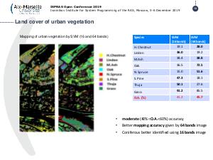
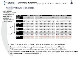
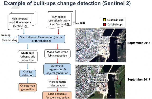
One of the key-issues of the performance and efficiency of the artificial intelligence models developed for the recognition, mapping and modelling of the territorial transformation and geographic changes concern the building and the efficiency of the geographic knowledge databases.
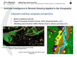
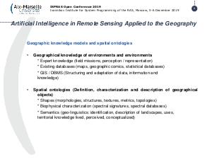
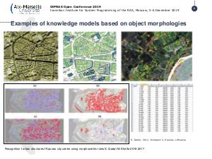
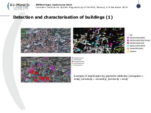
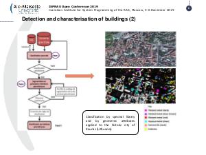
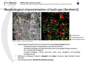
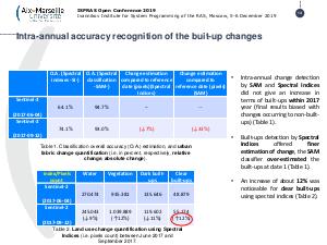
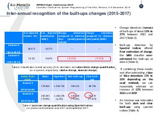
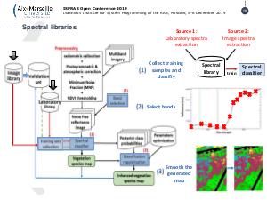
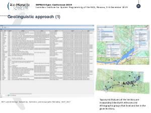
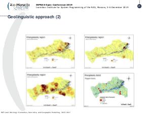
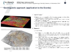
This presentation focusing on the creation, implementation and performances of the join knowledge databases (spectral, morphometric, socio-economic, perception modelling, and geo-linguistics) for the object recognition and spatial analysis, but as well as the development of geo-simulation models based on machine learning and deep learning applied to the urban areas. One of the way explored is based on the geographic ontologies.
Видео
Посмотрели доклад? Понравился? Напишите комментарий! Не согласны? Тем более напишите.
Презентация
Примечания и ссылки
Plays:7 Comments:0

